
Click for more.
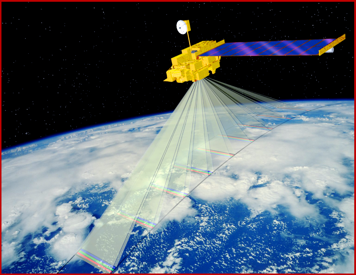
Operating the largest constellation of Earth observing orbiting satellites, Planet obtains near-daily imagery covering Earth’s entire landmass.
“California is a force for change when it comes to adopting new technologies,” said Governor Gavin Newsom. “Working with Planet and Bloomberg Philanthropies, we will continue advancing the cause of climate leadership by leveraging satellite data and analyses to enforce our bold climate policies.”
